Precision Geospatial Solutions for You

We provide comprehensive geodetic and positioning solutions to support surveying, mapping, infrastructure development, and national geospatial programs. Our services are delivered in compliance with international geodetic standards and tailored to local project requirements.

Projects Completed
0 +
Client Satisfaction
0 %
Years Experience
0 +
Expert Team
0 +

Our Services

Comprehensive geospatial solutions tailored to meet your project requirements with precision and reliability.

Precision Surveying

Expert surveying services utilizing advanced technology for optimal accuracy and reliability.
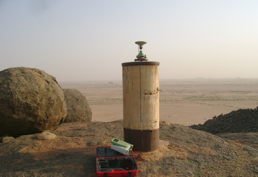
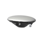
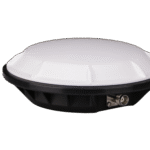
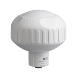
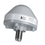
GNSS Solutions

Global Navigation Satellite System services designed for accurate positioning and navigation.

Deformation Monitoring

Advanced monitoring techniques to detect and analyze land movements effectively.

Showcasing Our Recent Projects

Comprehensive geospatial solutions tailored to meet your project requirements with precision and reliability.

Stockholm Central Station Expansion

Precision monitoring and layout for the largest rail infrastructure project in Sweden’s history.

Malmö Wind Farm

Offshore positioning and foundation surveys for 50 turbine installations.

Malmö Wind Farm

Offshore positioning and foundation surveys for 50 turbine installations.

GeoAxes Strategic Partnership

GeoAxes AB is proud to be an authorized dealer of for Dingyao Technology

GeoAxes AB

GeoAxes AB - Your Trusted Geospatial Solutions Provider. Specializing in surveying, mapping, and GNSS technology.

Authorized Dealer

Dingyao Technology

Dingyao Technology — Global Leader in GNSS & Inertial Systems. Developing advanced precision technology.

GeoAxes AB is an authorized dealer of Dingyao Technology with their logo

Ready to Elevate Your Project?

Reach out to us today and find out how our geospatial solutions can
provide you with the edge you need.